Mountains of Germany
Germany's highest mountain is Zugspitze (2,962 m), on the border with Austria. peaks.fyi covers 22 peaks in Germany, in the Alps, Black Forest and Bohemian Massif.
16 have a plain hiking route.
Most of Germany's peaks are at their best from June to September; each row shows the best months for that peak.
- Peaks
- 22
- With GPX
- 22
Peaks, Highest First
- Zugspitze, 2,962 m, Wetterstein · Germany, AustriaWetterstein · Germany, AustriaMountain hike2,962 m
From Garmisch-Partenkirchen through the Partnachklamm and the Reintal · T3 · VF A · 11h 45m up · 2 days · best Jul–Sep · GPX
- Hochwanner, 2,744 m, Wetterstein · Germany, AustriaWetterstein · Germany, AustriaAlpine hike2,744 m
From the Gaistal via the Mitterjöchl and the south flank · I · T4 · 7h up · best Jul–Sep · GPX
- Watzmann, 2,713 m, Zentralwestliche Berchtesgadner Alpen · GermanyZentralwestliche Berchtesgadner Alpen · GermanyAlpine hike2,713 m
From Wimbachbrücke via Watzmannhaus and Hocheck · F · I · T4 · 8h 15m up · 2 days · best Jul–Sep · GPX
- Dreitorspitze, 2,682 m, Wetterstein · Austria, GermanyWetterstein · Austria, GermanyAlpine hike2,682 m
From Leutasch via Puitegg, the Söllerpass and the Leutascher Platt · II · T4 · 6h 15m up · best Jul–Sep · GPX
- Hoher Göll, 2,522 m, Göll · Austria, GermanyGöll · Austria, GermanyAlpine hike2,522 m
Salzburger Steig from the Purtschellerhaus · I · T4 · VF B · 5h 15m up · best Jul–Sep · GPX
- Stadelhorn, 2,286 m, Reiter Alpe · Germany, AustriaReiter Alpe · Germany, AustriaAlpine hike2,286 m
From Oberjettenberg via the Schrecksattelsteig, Neue Traunsteiner Hütte, Roßgasse and Mayrbergscharte · I · T4 · 8h 45m up · 2 days · best Jul–Sep · GPX
- Große Arnspitze, 2,196 m, Wetterstein · Germany, AustriaWetterstein · Germany, AustriaAlpine hike2,196 m
From Scharnitz via path 851 and the Arnspitzhütte · I+ · T4 · 5h up · best Jul–Sep · GPX
- Kreuzspitze, 2,185 m, Ammergau Alps · GermanyAmmergau Alps · GermanyMountain hike2,185 m
Normal route from Ammerwald via the Hochgrießkar · T3 · 4h 30m up · best Jul–Sep · GPX
- Krottenkopf, 2,086 m, Ester Mountains · GermanyEster Mountains · GermanyHike2,086 m
From Partenkirchen via the Esterbergalm and Weilheimer Hütte · T2 · 6h 15m up · best Jul–Sep · GPX
- Berchtesgadener Hochthron, 1,972 m, Untersberg · GermanyUntersberg · GermanyHike1,972 m
From Maria Gern / Hintergern via the Stöhrweg and Stöhrhaus · T2 · 5h 45m up · best Jul–Sep · GPX
- Sonntagshorn, 1,961 m, Chiemgau Alps · Germany, AustriaChiemgau Alps · Germany, AustriaHike1,961 m
From the Heutal via the Hochalm · T2 · 4h up · best Jun–Oct · GPX
- Großer Traithen, 1,852 m, Schliersee Mountains · GermanySchliersee Mountains · GermanyMountain hike1,852 m
From Rosengasse via the Traithenkessel and Fellalm-Sattel · T3 · 3h 15m up · best Jun–Oct · GPX
- Wendelstein, 1,838 m, Schliersee Mountains · GermanySchliersee Mountains · GermanyHike1,838 m
From Bayrischzell via the Wendelsteiner Almen and Zeller Scharte · T2 · 5h up · best Jun–Oct · GPX
- Geigelstein, 1,808 m, Chiemgau Alps · GermanyChiemgau Alps · GermanyHike1,808 m
From Huben/Sachrang via the Priener Hütte · T2 · 5h 15m up · best Jun–Oct · GPX
- Zwiesel, 1,782 m, Staufen · GermanyStaufen · GermanyHike1,782 m
From Jochberg via the Zwieselalm and the south flank · T2 · 3h 30m up · best Jun–Oct · GPX
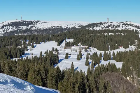
- Feldberg, 1,494 m, Black Forest · GermanyBlack Forest · GermanyHike1,494 m
From the Haus der Natur via the Seebuck and Grüble saddle · T2 · 1h 15m up · best Jun–Sep · GPX
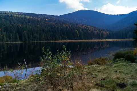
- Großer Arber, 1,456 m, Bohemian Forest · GermanyBohemian Forest · GermanyHike1,456 m
From the Großer Arbersee on the Goldsteig · T2 · 2h 15m up · best Jun–Oct · GPX
- Hornisgrinde, 1,164 m, Black Forest · GermanyBlack Forest · GermanyHike1,164 m
From the Mummelsee via the Katzenkopf and Hornisgrindeturm · T2 · 1h 30m up · best Jul–Oct · GPX
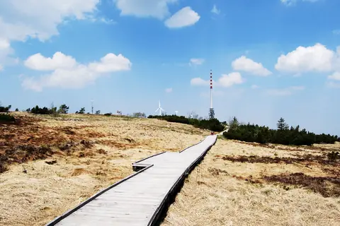
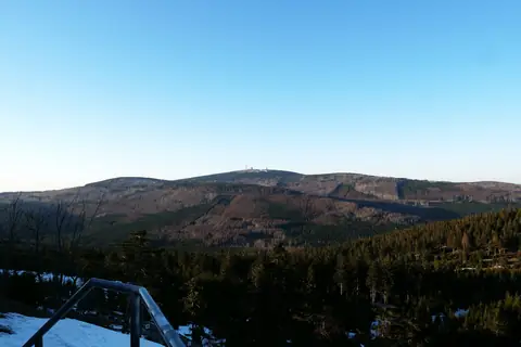
- Brocken, 1,142 m, Harz · GermanyHarz · GermanyEasy walk1,142 m
Goetheweg from Torfhaus · T1 · 3h up · best Jun–Sep · GPX
- Wasserkuppe, 950 m, Wasserkuppen Rhön · GermanyWasserkuppen Rhön · GermanyEasy walk950 m
From Gersfeld station via the Guckaisee and Pferdskopf · T1 · 3h up · best May–Oct · GPX
- Großer Feldberg, 879 m, Taunus · GermanyTaunus · GermanyEasy walk879 m
From Oberursel-Hohemark via the Urselbach and Teufelsquartier · T1 · 3h up · best Apr–Oct · GPX
- Vaalserberg, 322 m, Plateau of Vijlen · Germany, Belgium, NetherlandsPlateau of Vijlen · Germany, Belgium, NetherlandsEasy walk322 m
From Vaals via the Viergrenzenweg ridge and the Drielandenpunt · T1 · 1h up · best Apr–Oct · GPX
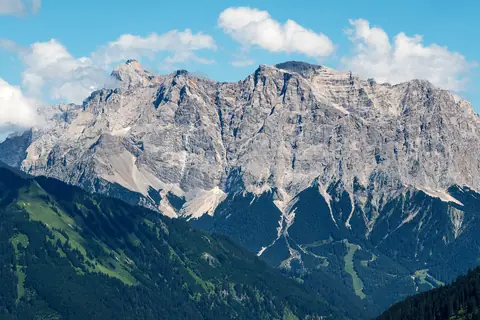
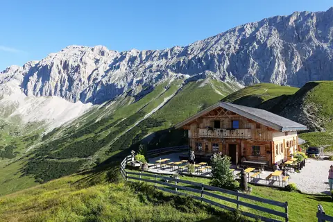
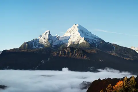
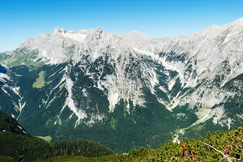

Questions
- What is the highest mountain in Germany?
- Zugspitze (2,962 m), in the Wetterstein. The way up is the normal route from Garmisch-Partenkirchen through the Partnachklamm and the Reintal, graded T3 · VF A, about 11h 45m up over 2 days. The best months are Jul–Sep.
- What is the highest mountain you can hike in Germany?
- Zugspitze (2,962 m): the normal route from Garmisch-Partenkirchen through the Partnachklamm and the Reintal, graded T3 · VF A, about 11h 45m up over 2 days, with no climbing and no glacier.
- When is the best time to climb mountains in Germany?
- For most peaks in Germany, June to September. Higher and glaciated peaks have a shorter season; each peak page rates every month.