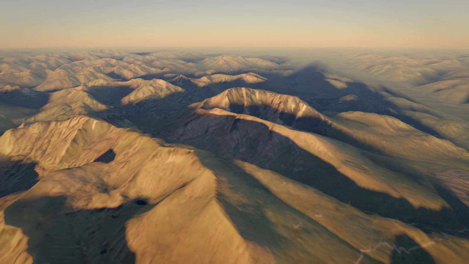
Ben Nevis
1,345 m
United Kingdom
Also known as Бен Невис, Μπεν Νέβις, +3Also known as
Бен Невис · Μπεν Νέβις · Beinn Nibheis · ბენ-ნევისი · Бен-Невис
- Elevation
- 1,345 m
- Prominence
- 1,345 m
- Difficulty
- 2/10
- Hike
- Best Season
- Jun–Sep
- Routes
- 2
WorksReported 1 Sep 2024
The John Muir Trust completed repairs to the upper Mountain Path in September 2024 after a helicopter lift of about 43–50 tonnes of stone in July 2024; sources give only the month (dated here to 1 September 2024).
johnmuirtrust.org
Routes
2The 1883 pony track, the way most of the Ben's 150,000 annual visitors go: a constructed path from the visitor centre in Glen Nevis (about 20 m) up the west flank, past the 'halfway lochan', then long stony zigzags to the summit plateau, the observatory ruins and the trig point. 17 km return, 1,352 m of ascent, 7–9 hours.
Elevation Profile
approximate line- Distance
- 10.6 km
- one way
- Ascent
- +1,528 m
- −205 m lost on the way up
- High Point
- 1,344 m
- Time Up
- 6h 49m
- DIN 33466
- Time Down
- 5h 04m
- DIN 33466 · same way back
From the Ben Nevis (Glen Nevis) Visitor Centre car park, cross the bridge over the River Nevis, turn right along the bank and then left up a path between a wall and a fence to join the original path from Achintee. A wide, built path climbs across the hillside; the path from Glen Nevis Youth Hostel joins from the right. It then zigzags up steeper, rockier slopes, crosses footbridges and climbs above the Red Burn, making a sharp left turn (do not take the eroded old line ahead) to the plateau of Lochan Meall an t-Suidhe, the 'halfway lochan' at about 570 m. At the junction above the lochan turn right (the left branch goes round to the North Face). Cross the upper Red Burn, then climb relentlessly up a rough, bouldery path in a series of very wide zigzags on the west flank. High up the path passes above the screes of Five Finger Gully, the scene of many fatal accidents when walkers descending in mist veer too far south. The gradient eases on the summit plateau, which passes close to the tops of Tower Gully and Gardyloo Gully before reaching the trig point, the ruined observatory with an emergency shelter on top, and many memorial cairns. Descend the same way. In mist, and especially with snow covering the path, navigate carefully between Gardyloo Gully and Five Finger Gully: from the summit follow a bearing of 231° for 150 m, then 281°. Never approach the northern cliff edge when there is snow: cornices overhang the gullies well into spring.
Start
Ben Nevis Visitor Centre17 m
- Train (West Highland Line, Caledonian Sleeper) or coach to Fort William; local bus to the Glen Nevis Visitor Centre between May and September, otherwise about 3 km on foot from town.
- Parking at the trailhead
Stages
| Day | Stage | km | m ascent | m descent | Time |
|---|---|---|---|---|---|
| 1 | Ben Nevis Visitor Centre → Ben Nevis | 10.6 | 1,528 | 205 | 6h 49m |
Waypoints
- Parking: Ben Nevis Visitor Centre17 m
- Feature: Lochan Meall an t-Suidhe707 m
'Halfway lochan'; the path keeps well to its right, then turns right at the junction above it
- Summit: Ben Nevis1,345 m
Key Passages
- Zigzags above the Red Burn
- Junction above Lochan Meall an t-Suidhe
- Upper zigzags above Five Finger Gully
- Summit plateau between Gardyloo and Tower Gullies
Equipment
0/6 packedDownloads
Route confidence 81%Overview
The highest mountain in the British Isles (1,345 m), a massive hump above Fort William with a 600–700 m north face of cliffs and gullies. A long, rough pony track leads to the summit in summer; in mist and snow its plateau is one of Britain's most serious navigation tests.
Ben Nevis (Gaelic Beinn Nibheis) rises from sea level at the head of Loch Linnhe in Lochaber, with Glen Nevis on its south and west and the Allt a' Mhuilinn glen below its north face. From Fort William it looks like a rounded whaleback; from the north the cliffs, ridges and gullies of the North Face, Scotland's premier winter climbing ground, show its other side. The summit plateau is ringed by cliffs on three sides and carries the ruins of a Victorian observatory, a trig point and an emergency shelter.
About 150,000 people a year climb it, three-quarters by the Mountain Path from Glen Nevis: 17 km and 1,350 m of ascent on a constructed but long and stony path. The Càrn Mòr Dearg Arête, a curving granite ridge with easy scrambling, is the finest alternative for experienced walkers.
The weather is the main hazard. The summit is in cloud most of the time in winter and over half the time in early summer, averages more than 250 gales a year, and holds snow for about seven months. Cornices overhang the north-face gullies well into spring, and the plateau's cliff edges lie close to the path: compass skills matter even in summer.
Climbing Notes
For the Mountain Path you need fitness for a 7–9 hour day with 1,350 m of ascent and descent, proper boots, full waterproofs and warm layers, food, water, a headtorch, and a map and compass you can use. Start early, check the Mountain Weather Information Service forecast, and turn back if cloud and wind build; read the safety signs at the visitor centre. The Càrn Mòr Dearg Arête suits experienced hillwalkers comfortable with exposure and easy scrambling (10–11 hours).
From roughly October/November to May the upper mountain is under snow: an ice axe and crampons and the skills to use them are essential, along with avalanche awareness (check the Scottish Avalanche Information Service) and careful navigation away from corniced gully tops. Most fatal accidents on the Ben involve avalanches, climbing falls or walkers straying into Five Finger Gully in descent. Guided ascents are widely available in Fort William.
History
The botanist James Robertson made the first recorded ascent in August 1771. A pony track was built in 1883 to supply the summit observatory, opened on 17 October 1883 by the Scottish Meteorological Society and staffed until 1904; its records remain Britain's most complete series of mountain weather data, and a summit 'hotel' operated until 1916. The Charles Inglis Clark Memorial Hut below the North Face dates from 1929. The John Muir Trust has owned the summit and south side since 2000, and Ordnance Survey remeasured the summit at 1,344.527 m in 2016.
Season
Best Jun–Sep- January: Possible
- February: Possible
- March: Possible
- April: Possible
- May: Good
- June: Best (best window)
- July: Best (best window)
- August: Best (best window)
- September: Best (best window)
- October: Good
- November: Possible
- December: Possible
- Jan
- Full winter conditions; ice axe, crampons and navigation skills essential; avalanche risk
- Feb
- Winter conditions; North Face ice-climbing season
- Mar
- Winter conditions; large cornices
- Apr
- Snow on the upper path; cornices collapsing
- May
- Snow patches on the upper mountain; longer days
- Jun
- Long days; midges in the glen
- Jul
- Busiest month; summit still often in cloud
- Aug
- Busy; deer stalking begins on the Killiechonate Estate north of the CMD ridge
- Oct
- Shorter days; first snow possible; stalking until 20 October
- Nov
- Early winter conditions
- Dec
- Winter conditions; very short days
Access & Permits
- Fees
- Ben Nevis (Glen Nevis) Visitor Centre car park: £8 per day (High Life Highland, 2026)
- North Face car park at Torlundy: paid
- Rules
- Scottish Outdoor Access Code applies
- Deer stalking on the Killiechonate Estate (north of the Càrn Mòr Dearg ridge) from early August to 20 October, not on Sundays: follow local advice
- The John Muir Trust removes informal cairns and memorials from the summit; do not build cairns or leave memorials
- Getting There
Fort William
Inverness Airport (INV); Glasgow Airport (GLA)
- Train: West Highland Line from Glasgow and the Caledonian Sleeper from London to Fort William
- Bus: Citylink coaches to Fort William; local bus up Glen Nevis to the visitor centre between May and September
- Car: A82 to Fort William, then the Glen Nevis road to the visitor centre (Mountain Path) or the Torlundy turn and forestry track to the North Face car park (CMD Arête)
Hazards
- Weather
- Cornices
- Avalanche
- Exposure
- River crossing